


GPX track
Record
This summer is not conducive to hiking because the climatic conditions are harsh (high temperature and humidity).
However to celebrate the epiphany we organized a picnic day at the White River (“Rivière blanche”).
The bravest arrived early to make a mountain bike without much difficulty.
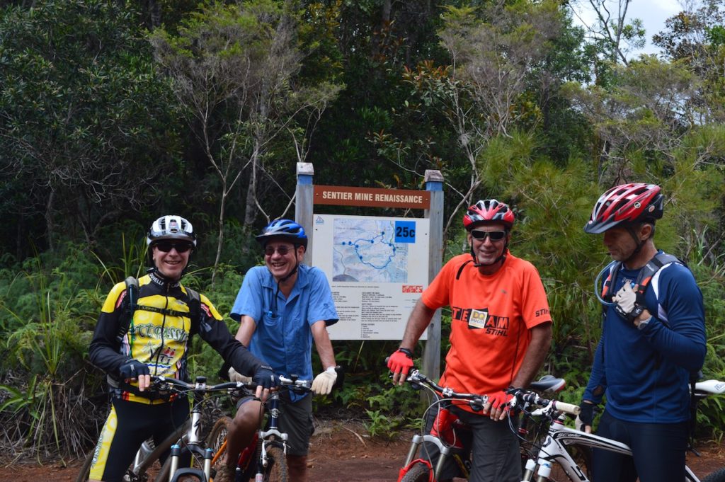
We left the old refuge at the terminus of the track to make a loop of 30 kms on the shores of the White River.
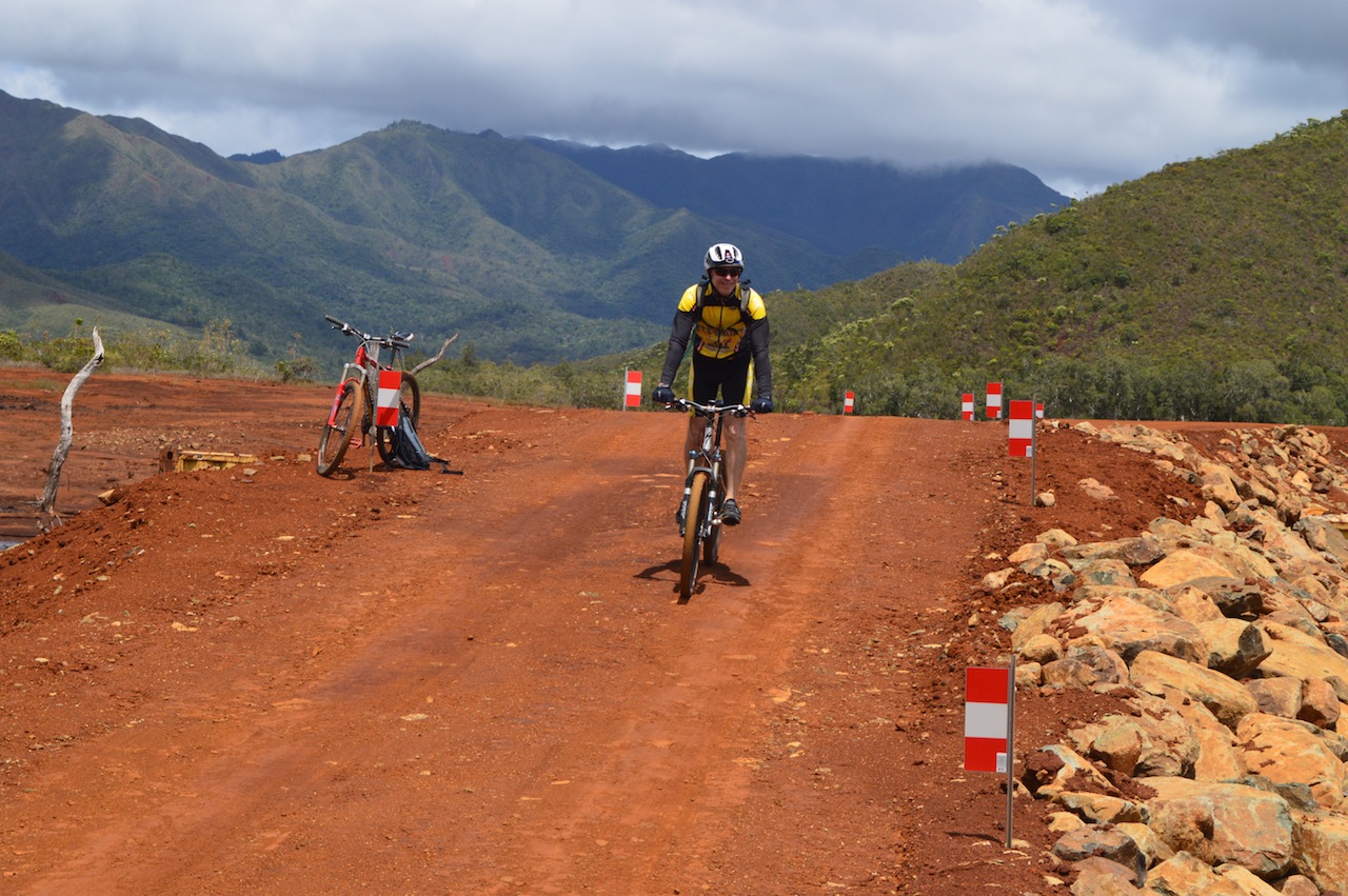 The track is in excellent condition for mountain bike it presents few technical difficulties.
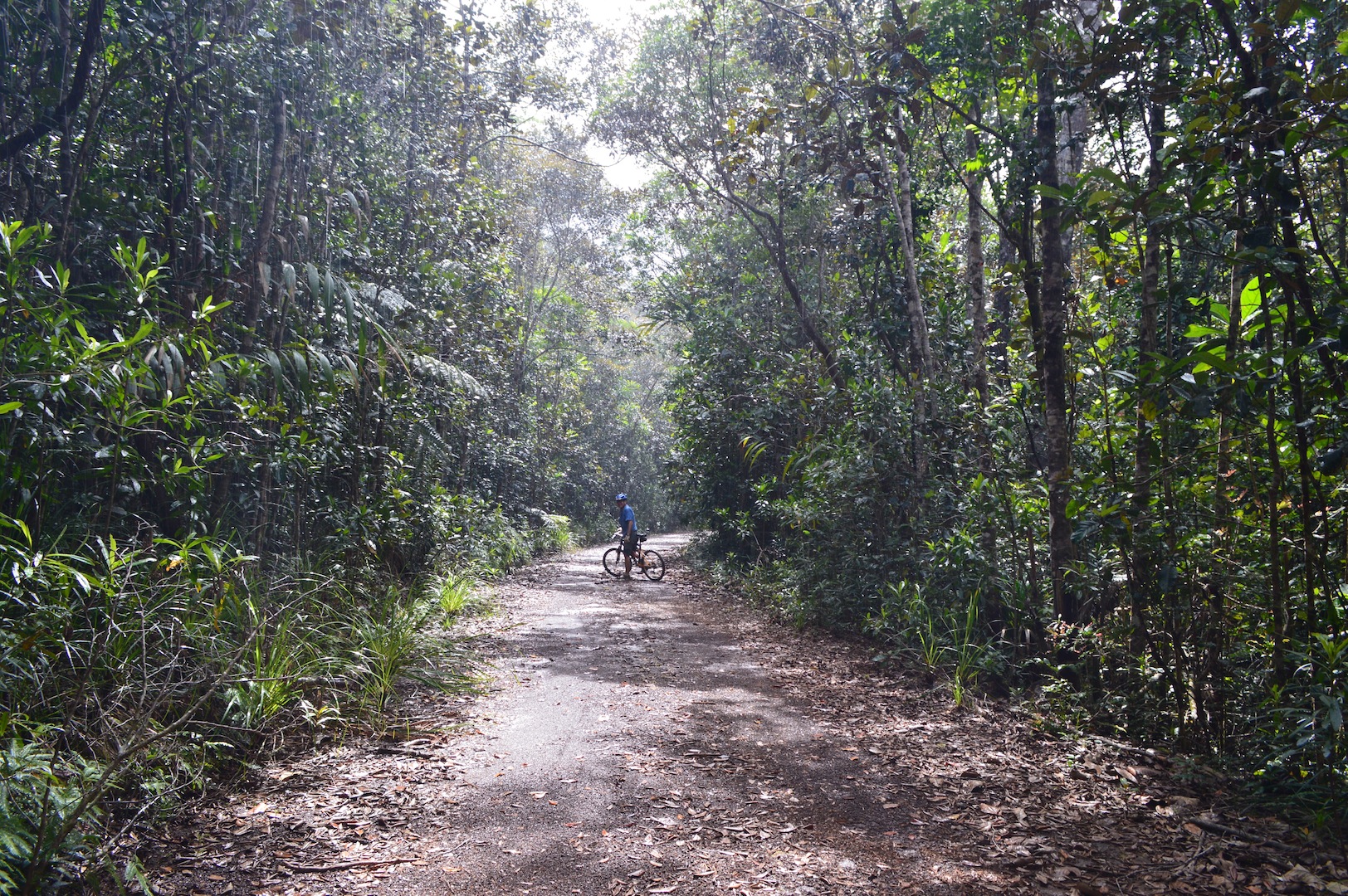 After crossing the White River, we made a short stop at the refuge of scientists who served basis ornithologists who studied the cagou.

The bifurcation of the forest in May, is exactly halfway.
Unfortunately we had to suffer a very heavy downpour on the last part of the hike between the Pérignon Bridge and our picnic point. The slush was our disguise on arrival. !
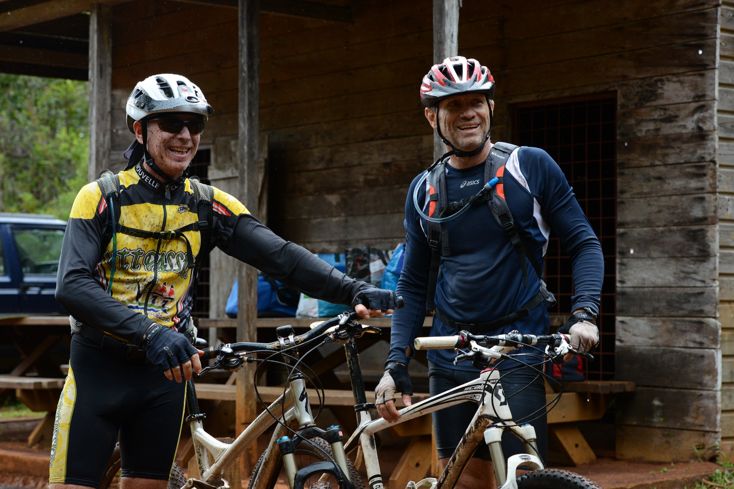
Marc and Luc
After a well deserved slagging and men at the river, we enjoyed finding ourselves around a beautiful diners featuring four generations of the ROLLY family and some friends.
Avertissement
La pratique de la marche, de la randonnée et du trekking comporte des risques inhérents à ces activités. Nous vous recommandons donc la plus grande prudence dans l'interprétation et l'utilisation des données fournies dans ce blog. Malgré tout le soin accordé à leur exactitude, les informations fournies par ce blog ne pourront en aucun cas engager la responsabilité de son auteur; Par ailleurs, les personnes qui participent au blog et au site déclinent toute responsabilité en cas d’accident et ne pourront être tenus pour responsables de quelque manière que ce soit.