


GPX track
Record
The Cosinus mine is located on the southern Koéalagoguamba valley (affluent of the Tontouta), starting from accessed “la plaine aux cailloux” in Païta.
Cosinus Mine
This mine operated by the Company Lafleur in the sixties has fallen into the public domain. She is currently taken up by the SGM company who has done some surveys to assess the potential of remaining nickel.
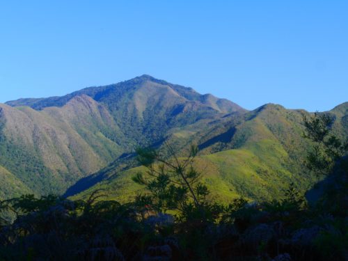
South-East versant of Mont Mou
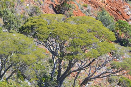
The access road is in good condition since it was restored a few years ago to vegetate barren slopes. We also found that different species planted are doing well.
Cosine mine revegetation
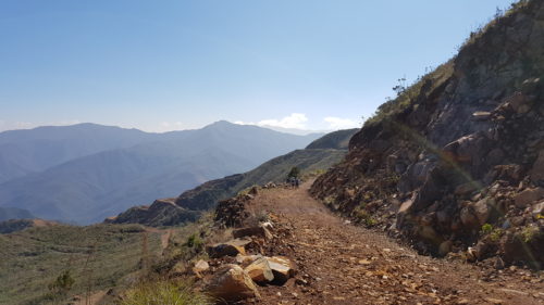
Cosinus mine track
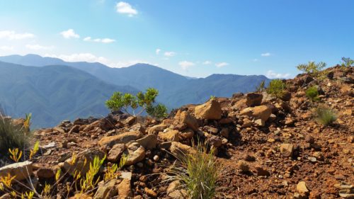
Throughout the ascent on the Païta slope, we had a beautiful views over the village and the lagoon. We enjoy an excellent weather, visibility was perfect but with a very light mist.
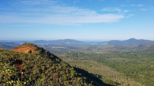
On the heights of Païta
Along the way we deviate a little from the direct route to see an area to explore next time.
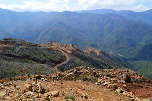
After reaching the ridge, the view changes with a vision on the Koéalagoguamba Valley against the bottom, with the background of the “Dent de St Vincent”, the “camp de sapins”, and the “Humboldt”.
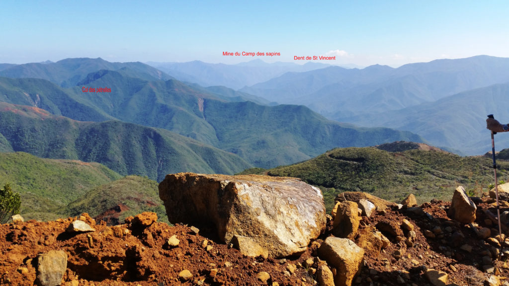
View Northwest direction from the cosine mine
We finally arrived to the old quarry of Cosine mine after about 3 hours 30 of climbing.
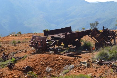
Some wrecks of old truck rusting stayed put.
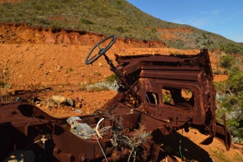
Renault truck wreck on Cosine mine
We continue our trip up to 1010m where we put the bags for a snack with a magnificent view of Païta and Noumea.
Melaleuca Sphaerodendra
The return will be by the same route in 3h15 from our point of picnic.
This hike presents no technical difficulty but its length (23 km) and positive altitude (955 m) do not put it within reach of all.
Avertissement
La pratique de la marche, de la randonnée et du trekking comporte des risques inhérents à ces activités. Nous vous recommandons donc la plus grande prudence dans l'interprétation et l'utilisation des données fournies dans ce blog. Malgré tout le soin accordé à leur exactitude, les informations fournies par ce blog ne pourront en aucun cas engager la responsabilité de son auteur; Par ailleurs, les personnes qui participent au blog et au site déclinent toute responsabilité en cas d’accident et ne pourront être tenus pour responsables de quelque manière que ce soit.